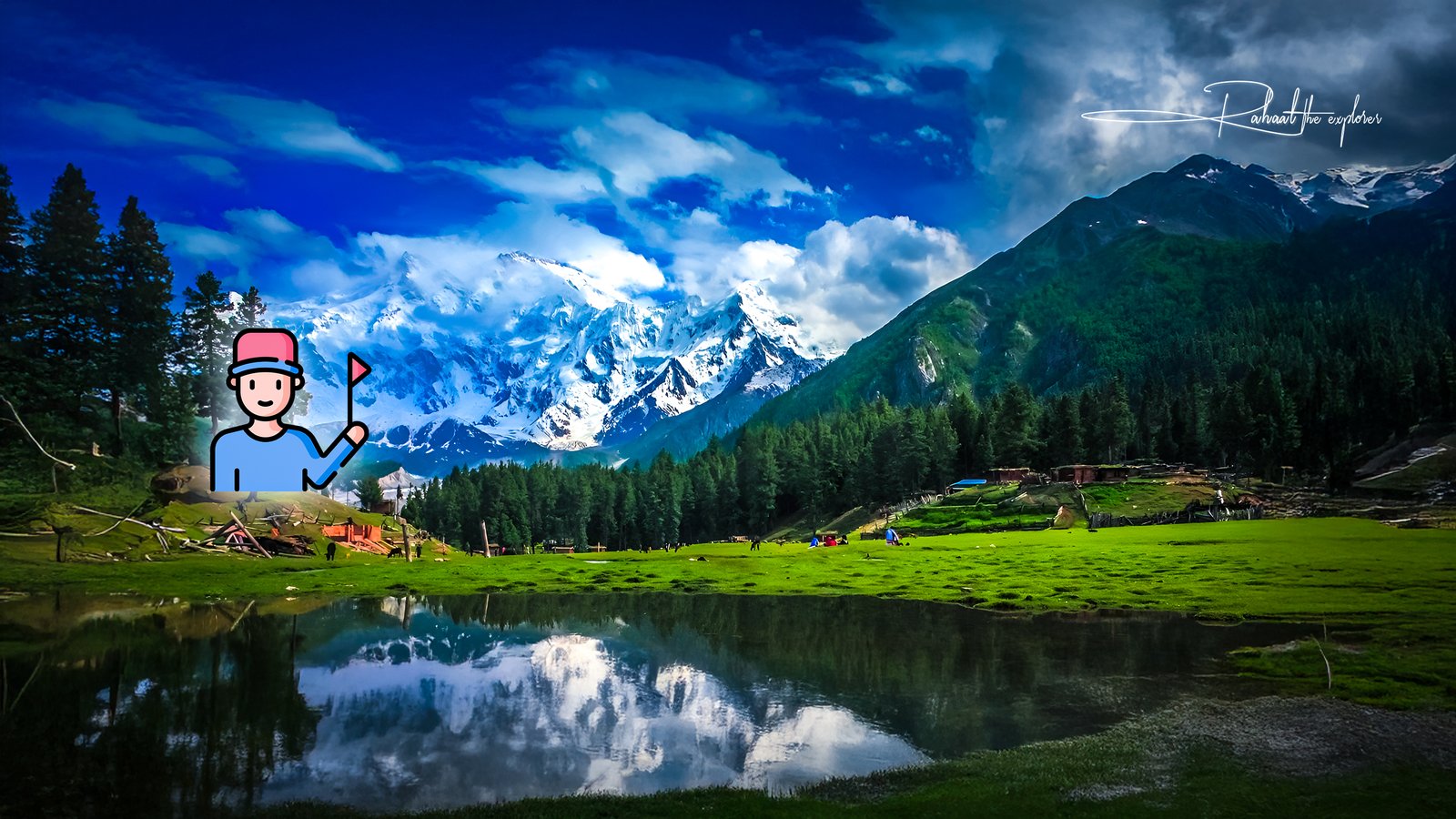
Introduction
For those who crave adventure beyond the ordinary, K2 Mountain represents the ultimate challenge. Known as the “Savage Mountain,” K2 stands as the second-highest mountain in the world at an astonishing 8,611 meters (28,251 feet), second only to Mount Everest. But ask any experienced mountaineer, and they’ll tell you — K2 is far more difficult and dangerous to climb than Everest.
Located in the Karakoram Range along the Pakistan–China border, K2 embodies both beauty and peril. It’s a destination for elite climbers, adventurers, and photographers who seek to experience one of Earth’s last untouched frontiers.
In this in-depth guide, we’ll explore everything you need to know about K2 Mountain — its history, climbing routes, challenges, weather conditions, how to reach base camp, safety tips, and the experience of standing beneath this formidable peak.
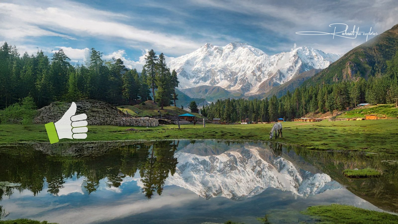
What Makes K2 Mountain Special
K2 Mountain, also known locally as Chhogori, is part of the Karakoram Range, a subrange of the Himalayas that stretches across Pakistan, India, and China.
Fast Facts about K2 Mountain
| Feature | Detail |
|---|---|
| Height: | 8,611 meters (28,251 feet) |
| Location: | Gilgit-Baltistan, Pakistan / Xinjiang, China |
| Range: | Karakoram Range |
| First Ascent: | 1954, by Lino Lacedelli & Achille Compagnoni (Italy) |
| Nickname: | The Savage Mountain |
| Climbing Season: | Late June to August |
| Success Rate: | Roughly 20% of attempts reach the summit |
| Fatality Rate: | Around 25% — one of the world’s highest |
Unlike Everest, K2 does not have commercial expedition routes or significant infrastructure. There are no villages, tea houses, or helicopter rescues at higher altitudes. Climbers face raw, untamed wilderness — the very essence of adventure.
The History of K2 Mountain
K2 was first discovered in 1856 by a British survey team led by Thomas Montgomerie, who named it “K2” (for the second peak measured in the Karakoram). Unlike most peaks, it has no local name because of its remote location — even today, only a few people live near its base.
The first successful summit took place in 1954 by the Italian climbers Achille Compagnoni and Lino Lacedelli, who used the Abruzzi Spur route, which remains the most popular path to the top today.
Despite many technological advances, K2 remains one of the deadliest mountains. For every four climbers who reach the summit, one has historically not returned. The mountain’s steep faces, unpredictable weather, and avalanches make it one of the toughest feats in human endurance.
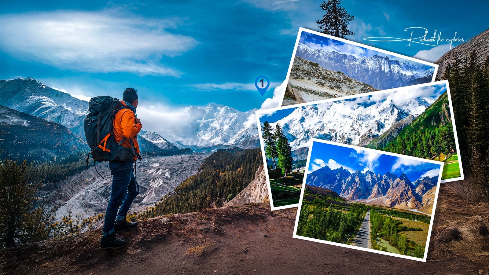
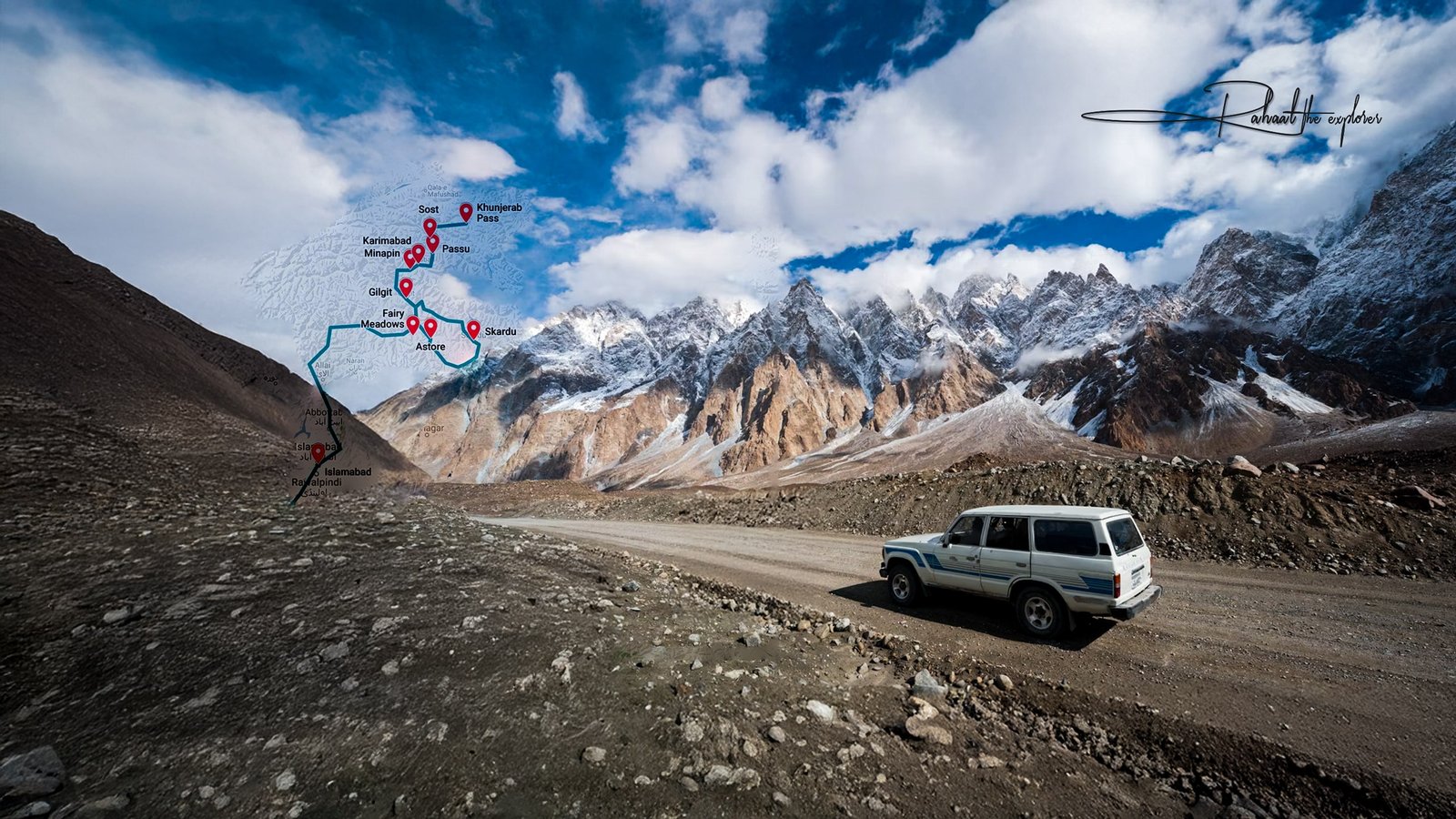
Reaching K2 Base Camp: The Journey Begins
Even before the climb begins, reaching K2 Base Camp is an adventure in itself. The trek through the Baltoro Glacier is considered one of the most beautiful — and challenging — hikes in the world.
Route to K2 Base Camp
Islamabad → Skardu:
Your journey begins in Pakistan’s capital, Islamabad. From there, a domestic flight (weather permitting) or a long drive takes you to Skardu, the gateway to the Karakoram Range.
Skardu → Askole:
The drive to the small village of Askole takes you through rugged mountain roads and traditional Balti villages — the last point accessible by vehicle.
Askole → Concordia (via Baltoro Glacier):
The trek to K2 Base Camp takes about 8–10 days, covering approximately 90 kilometers (56 miles).
You’ll pass legendary peaks like Trango Towers, Broad Peak, and Gasherbrum IV along the way.
Concordia → K2 Base Camp:
Known as the “Throne Room of the Gods,” Concordia is where several giant glaciers meet. From here, it’s a 5–6 hour trek to K2 Base Camp (5,150 m).
Climbing Routes on K2 Mountain
There are several established routes to the summit, each with unique challenges and dangers.
1. Abruzzi Spur (Southeast Ridge)
- Most popular and historically significant route
- Includes features like “House’s Chimney,” “The Black Pyramid,” and the “Bottleneck”
- Extremely technical and exposed to avalanches
2. The Cesen Route
- Slightly more direct than the Abruzzi Spur
- Avoids some of the most dangerous sections but still demanding
3. The North Ridge
- Located on the Chinese side of the mountain
- Rarely attempted due to logistical difficulties and political restrictions
4. The Magic Line & South-Southwest Pillar
- Among the hardest routes, used only by expert alpinists
Climbers often spend weeks acclimatizing at various camps:
- Camp 1 (6,100 m)
- Camp 2 (6,700 m)
- Camp 3 (7,300 m)
- Camp 4 (7,900 m)
The final ascent pushes through the Bottleneck Couloir, a treacherous stretch under hanging seracs of ice that can collapse without warning.
Weather and Best Time to Visit
K2’s weather is famously unpredictable. High winds, extreme cold, and sudden storms often force expeditions to retreat.
Best Climbing Season:
- Late June to Early August — The summer climbing window when temperatures are least extreme.
- Winter Climbs — Extremely rare and dangerous. The first successful winter ascent only happened in 2021 by a team of Nepali climbers.
Even in summer, temperatures at the summit can plunge to -30°C (-22°F), and winds can exceed 100 km/h (62 mph).
Life at K2 Base Camp
The K2 Base Camp is more than just a resting spot — it’s a vibrant community of climbers, guides, and porters from around the world.
- Altitude: 5,150 meters (16,896 feet)
- Facilities: Basic tents, cooking areas, and medical camps
- View: You’ll see Broad Peak, Gasherbrum I & II, and the mighty K2 rising dramatically before you
The camp’s isolation creates a deep sense of connection among those who make it there — a shared respect for nature’s raw power.
Challenges and Dangers of K2 Mountain
K2 demands respect. Its combination of technical climbing, altitude, and weather make it one of the most dangerous mountains on Earth.
1. Technical Difficulty
The steep, icy slopes and rock faces require advanced alpine skills. There’s little room for error.
2. Weather Instability
Sudden storms can trap climbers for days. The mountain often creates its own microclimate.
3. Avalanches & Falling Ice
The “Bottleneck” area is especially infamous for ice collapses, claiming several lives in past expeditions.
4. Altitude Sickness
At such high elevations, oxygen levels are dangerously low, and acclimatization is crucial.
5. Limited Rescue Options
There are no helicopter rescues above Base Camp due to altitude restrictions — climbers must rely on each other.
Essential Tips for Trekkers and Climbers
1. Train Rigorously
Climbing or trekking near K2 requires top physical conditioning — focus on endurance, strength, and altitude adaptation.
2. Choose Experienced Guides
Hire reputable expedition companies with experience in the Karakoram Range. Local Pakistani guides and porters are invaluable for navigation and logistics.
3. Bring Proper Gear
Essential items include:
- Down jacket (-30°C rated)
- High-altitude boots
- Sleeping bag (rated -20°C or lower)
- Crampons, harness, ice axe
- Satellite phone or GPS tracker
4. Acclimatize Properly
Spend extra days at intermediate camps to avoid Acute Mountain Sickness (AMS).
5. Get the Right Permits
You’ll need:
- A Karakoram trekking permit
- Mountaineering visa (for climbers)
- Clearance from the Pakistan Alpine Club
6. Respect Local Culture
The Balti people of Gilgit-Baltistan are warm and hospitable. Always ask before photographing, and respect local customs.
Sustainable Tourism at K2
The K2 region is ecologically fragile. Responsible tourism ensures its preservation for future generations.
- Carry reusable bottles and biodegradable waste bags
- Avoid leaving trash in glaciers or campsites
- Support local porters, guides, and communities
- Opt for eco-conscious tour operators
The Pakistani government and local NGOs have started initiatives like “Clean K2”, focused on removing decades of climbing waste from the mountain.
Nearby Attractions
If you’re not a professional mountaineer, you can still experience K2’s grandeur through treks and nearby sites:
- Concordia Glacier Trek – Known as the world’s most scenic hike
- Baltoro Glacier – The path leading to K2 Base Camp
- Askole Village – The last human settlement before entering the high mountains
- Skardu Valley – A cultural and scenic gem, home to Shigar Fort and Satpara Lake
Photography and Filming at K2
K2 is a dream destination for photographers.
- Early morning and sunset offer the best lighting for dramatic mountain shots.
- Use a polarizing filter to reduce glare from snow and ice.
- Drones are restricted in most areas; check local laws before flying.
For filmmakers and travel vloggers, documenting K2 offers unmatched content potential — just ensure you secure permits from the Pakistan Tourism Department.
Frequently Asked Questions (FAQs)
1. Where is K2 Mountain located?
K2 is located in the Karakoram Range, on the border between Pakistan and China, within the Gilgit-Baltistan region of northern Pakistan.
2. Can beginners climb K2?
No. K2 is for expert mountaineers only. However, beginners can trek to K2 Base Camp for a safer and equally rewarding experience.
3. How long does it take to climb K2?
A full expedition can last 6–8 weeks, including acclimatization, route preparation, and summit attempts.
4. Is K2 more difficult than Everest?
Yes — K2 is significantly more technical and dangerous. Fewer climbers attempt it, and its fatality rate is much higher.
5. What is the best time to visit K2?
Late June to August is the ideal window for clear weather and safer climbing conditions.
6. Can I trek to K2 Base Camp without climbing?
Yes! The K2 Base Camp Trek is popular among adventure travelers. It doesn’t require technical climbing skills but demands strong fitness.
7. What permits are required to visit K2?
Foreign visitors need a trekking or mountaineering permit, plus special clearance for restricted zones from the Pakistan Alpine Club.
8. What makes K2’s “Bottleneck” so dangerous?
The Bottleneck is a narrow corridor under hanging ice cliffs. Avalanches or ice falls here have caused many fatalities in K2’s history.
9. Is K2 visible from Skardu?
Not directly — but you can see nearby peaks of the Karakoram. The closest viewpoint of K2 is from Concordia Camp, about 8–10 days from Skardu.
10. What is the success rate of K2 climbs?
Roughly 20–25% of climbers successfully reach the summit — one of the lowest rates among 8,000-meter peaks.
Conclusion
Hiking to K2 Mountain is more than an expedition — it’s a test of courage, patience, and respect for nature. Whether you trek to its base or dream of summiting it, the journey offers unmatched beauty and humility in the face of Earth’s extremes.
For those daring enough to explore it, K2 Mountain remains a timeless symbol of human endurance and the spirit of adventure — a place where the mountains truly meet the sky.